Since 2008, researchers from the Mallee Fire and Biodiversity project at La Trobe University have developed broad-scale models of the mallee ecosystem to map the region’s fire history and understand the consequences of planned burning on native ecosystems. These fire histories enabled researchers to model intervals of fire, as well as how they interacted with flora and fauna cycles across multiple decades.
Following extensive mapping of 28 select landscapes throughout the Murray Mallee region of south-eastern Australia, researchers were able to map the plant, animal, and habitat composition of these diverse environments. When compared to fire mosaics that identified variations in fire age, vegetation types, and topography, researchers were able to develop an understanding of flora and fauna biodiversity as it interacted with fire, as well as opportunities for improving conservation.
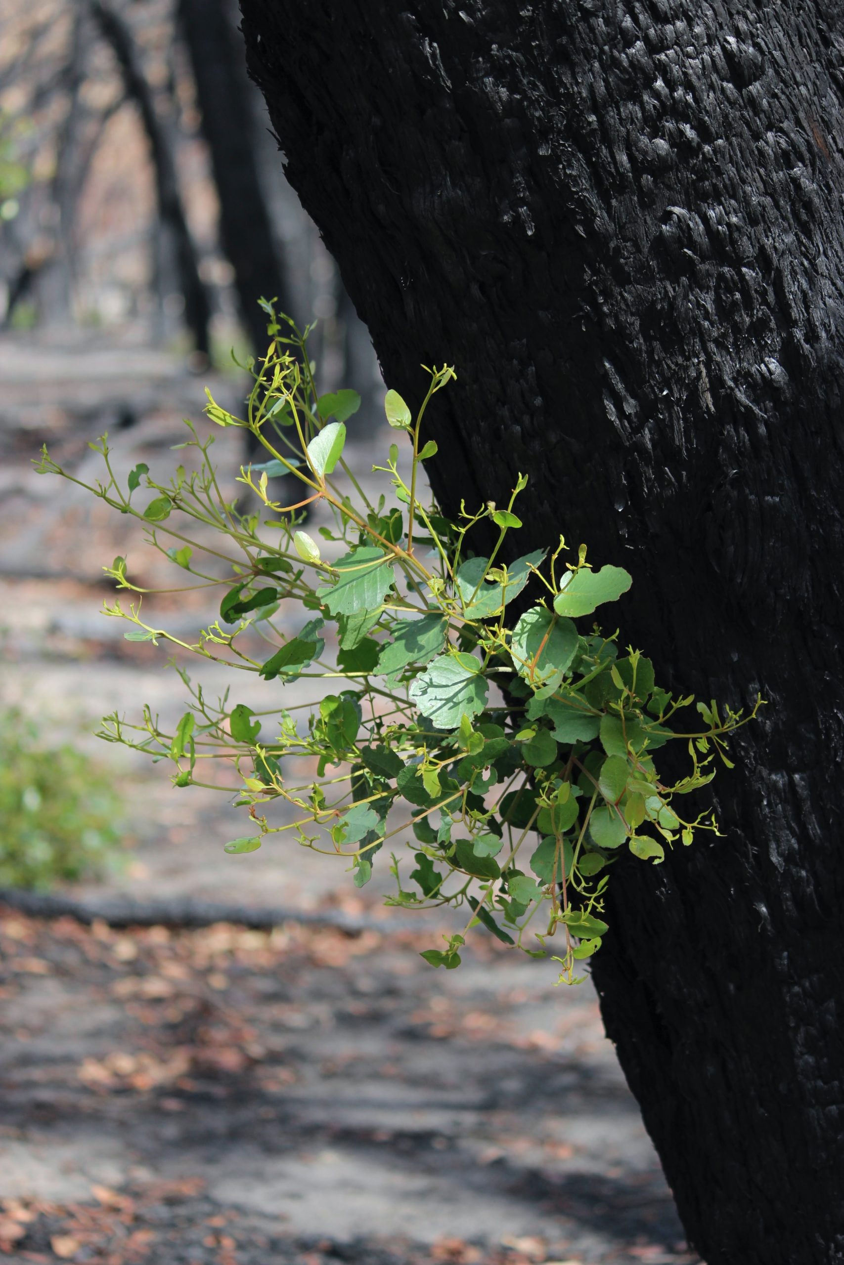
Researchers found that frequent extensive burning has detrimental effects on native species, with a great variability in the time response to burning. The research project found that some species of fire-prone plant communities flourished in the periods following fire and decreased with time, while other species were more abundant as the time since the last fire increased.
Spinifex, for example, reaches maximum cover approximately 30 years after fire. These changes in plant ecosystems influenced the biodiversity of animals within these environments. White-eared honeyeaters, for example, peak in population approximately 40 years after fire and thereafter decrease, while Chestnut-rumped Thornbills were more more likely to be detected in the early stages of regrowth immediately following a fire.
Understanding these fire mosaics and the biodiversity of mallee landscapes has enabled government agencies and local land managers to plan for and mitigate the risks associated with both planned burning and wildfire on landscapes, ecosystems, and personal property.
The project continues to make contributions to fire management and practice across Victoria, including policy for endangered species, wildfire mapping, fire strategies for national parks, and achieving statewide biodiversity targets.